
The ocean hides an extraordinary landscape beneath its waves—and satellites are helping scientists reveal it without ever touching the seabed.
🌍 How Can Gravity Reveal an Underwater World?
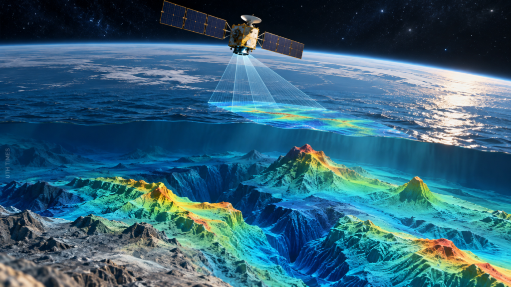
Earth’s oceans conceal enormous mountains, deep valleys, volcanic structures and vast underwater plains. Surprisingly, scientists can detect many of these features by measuring tiny variations in the ocean’s surface from space.
NASA-supported researchers have used satellite observations, including data from the Surface Water and Ocean Topography (SWOT) mission, to produce remarkably detailed maps of the seafloor. Launched in December 2022, SWOT is a joint mission between NASA and France’s space agency, CNES. Its original mission is to measure water levels, but its observations are also transforming ocean-floor mapping.
🛰️ The Science Behind the Discovery
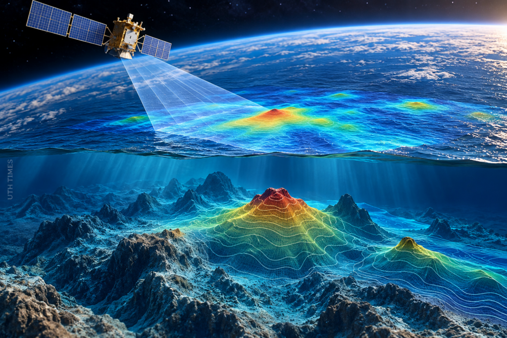
🔹 Underwater mountains create gravitational signatures: Seamounts and other massive geological structures exert slightly stronger gravitational pulls than surrounding areas. This attracts additional seawater, creating subtle bumps in the ocean surface.
🔹 Satellites detect microscopic differences: SWOT measures sea-surface height with centimetre-level accuracy. By analysing these tiny variations alongside gravity models, scientists can infer the shapes of geological formations hidden thousands of metres below.
🔹 Repeated observations reveal hidden terrain: SWOT covers approximately 90% of the globe every 21 days, allowing researchers to collect extensive measurements across ocean basins.
A landmark study published in Science in December 2024 demonstrated how a year of SWOT observations could reveal smaller seamounts, abyssal hills and underwater continental margins with unprecedented clarity. Scientists are effectively using the ocean’s surface as a window into the deep. citeturn605816search0turn605816search5
🔬 What Did Scientists Discover?
The improved observations could help researchers increase the estimated number of known seamounts from approximately 44,000 to 100,000. These underwater mountains are important because they influence deep-ocean currents and concentrate nutrients that attract marine life.
Abyssal hills—small, elongated formations covering roughly 70% of the ocean floor—also provide clues about tectonic plate movements and the geological history of Earth. Better maps could help scientists investigate how ocean-floor structures influence heat, nutrients and water circulation. citeturn605816search5
🌐 Why Does This Matter?
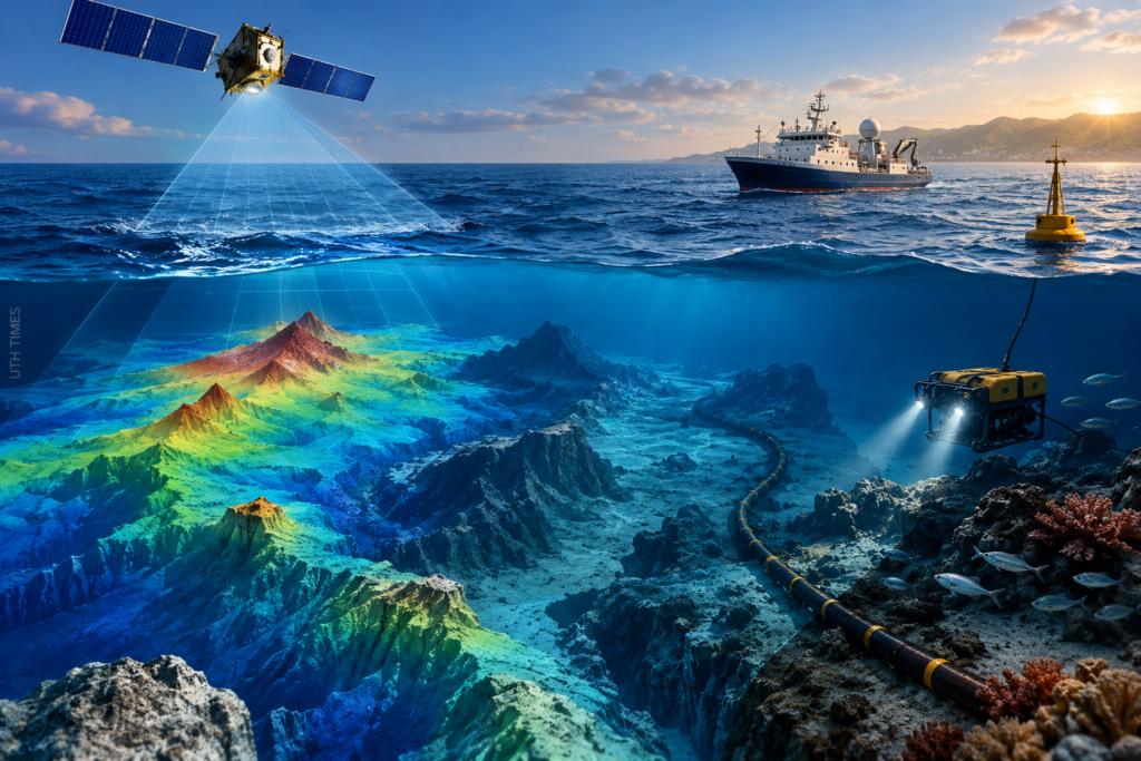
🔹 Navigation and infrastructure: Improved seafloor maps can support safer maritime navigation and planning for underwater communication cables.
🔹 Marine science: Mapping hidden terrain helps researchers identify habitats and understand deep-sea ecosystems.
🔹 Earth’s geological history: Underwater ridges and hills preserve evidence of tectonic activity spanning millions of years.
⚠️ Has the Entire Ocean Floor Been Mapped
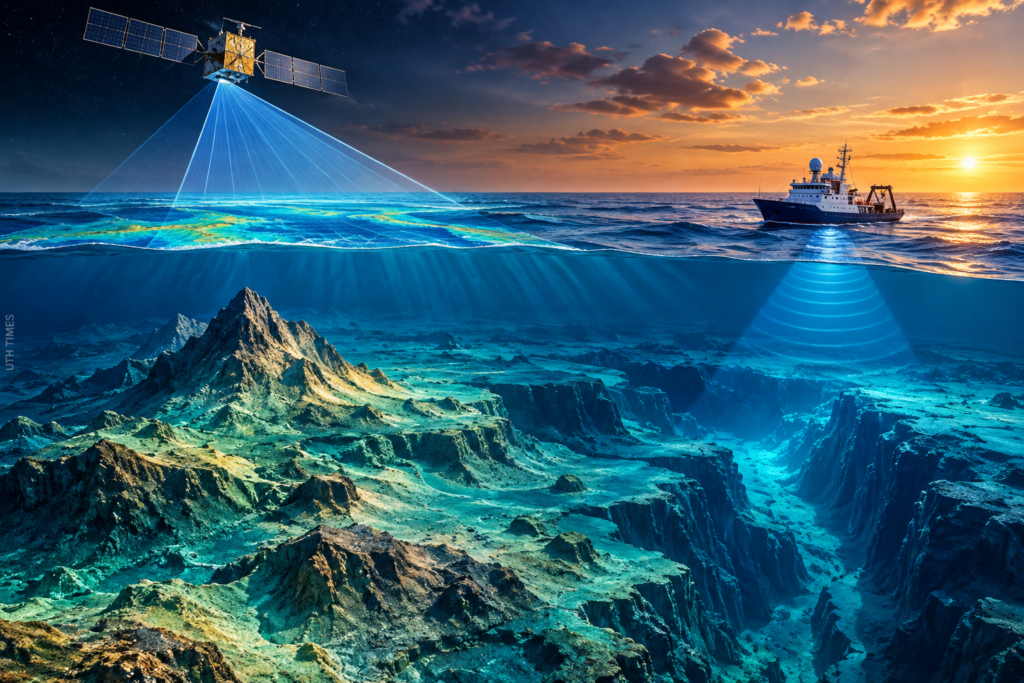
Not in high resolution. Satellite gravity measurements provide a broad, increasingly detailed picture, but they do not replace direct sonar surveys from ships. NASA reported that only about 25% of the seafloor had been surveyed using modern ship-based methods when discussing the SWOT results. Scientists are combining satellite observations with sonar measurements to improve global maps.
Space technology is helping humanity uncover landscapes that remain difficult to explore directly. Every new measurement brings scientists closer to understanding the vast, mysterious world beneath our oceans.

