
India is steering its satellite navigation future with bold confidence — introducing comprehensive, government-backed standards for NavIC location receivers, signaling a major shift from reliance on America’s GPS towards an indigenous, world-class navigation ecosystem.
📡 NavIC: The Homegrown GPS Alternative
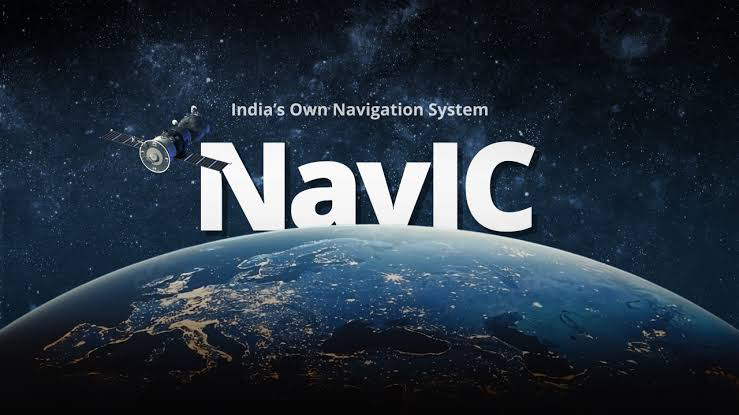
India’s Navigation with Indian Constellation (NavIC) system is a satellite navigation network developed by the Indian Space Research Organisation (ISRO) to deliver accurate location and timing services over India and up to 1,500 km beyond its borders.
Unlike the Global Positioning System (GPS) — controlled by the U.S. Department of Defense — NavIC is civilian-oriented and tailored to India’s unique terrain, needs, and strategic priorities.
📏 Why Standards Matter: Setting the Benchmark

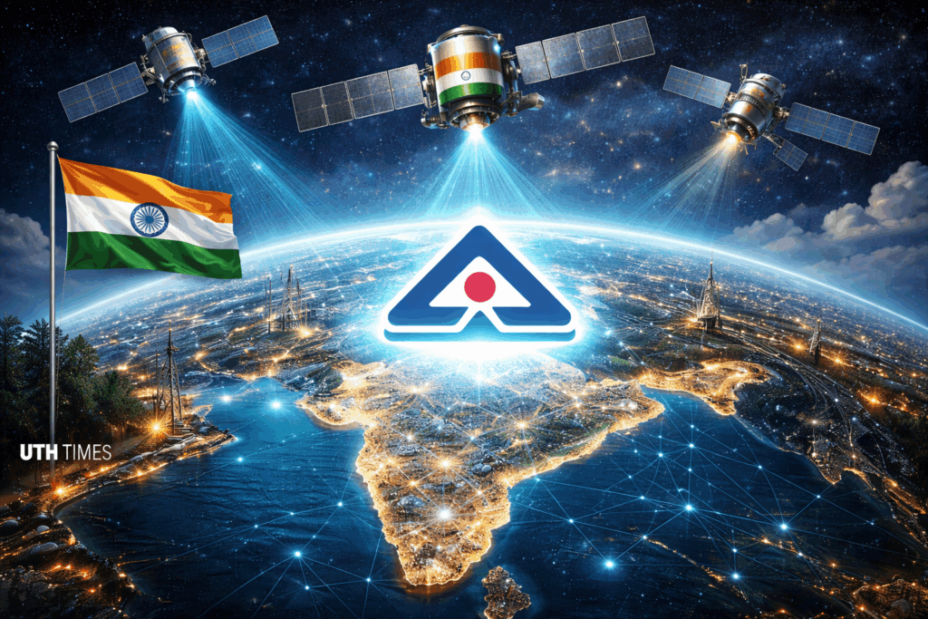
To unlock NavIC’s full potential, the Bureau of Indian Standards (BIS) has unveiled a first-of-its-kind set of technical specifications for NavIC receivers. These are not just guidelines — they are quality, performance, and reliability criteria designed to create trust and uniformity in every device or application that uses NavIC.
🔹 Signal acquisition & tracking: Defines how receivers must lock onto NavIC signals efficiently.
🔹 Positioning accuracy: Ensures precise location data, with benchmarks comparable to global standards.
🔹 Timing precision: Critical for synchronization in telecom, transport, and financial systems.
🔹 Interference resilience: Robust performance even in challenging environments.
These standards make sure that smartphones, vehicles, drones, agricultural equipment and industrial IoT devices using NavIC deliver consistent, reliable location data.
🇮🇳 A Strategic, Self-Reliant Move
Why now? India’s push to standardize NavIC comes from a decades-old desire for technological self-sufficiency — a lesson underscored during the 1999 Kargil conflict, when reliance on foreign GPS data exposed vulnerabilities in defence and disaster response.
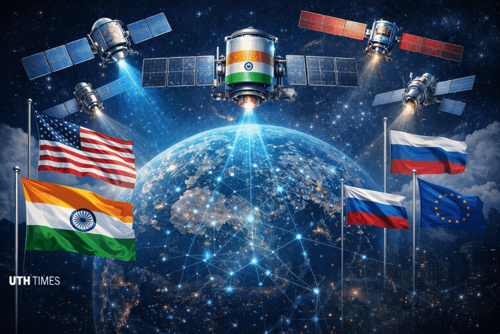
With these standards, India steps up alongside global navigation powers like the U.S. (GPS), China (BeiDou), Russia (GLONASS), and Europe (Galileo), asserting its place in the elite league of sovereign satellite navigation systems.
📊 What This Means for Industries & Users

📍 Tech Manufacturers: Now have clear technical frameworks to build NavIC-compatible chips and devices.
📍 Navigation Apps & Services: Gain a dependable platform with standardized performance metrics.
📍 Strategic Sectors (Transport, Agriculture, Disaster Management): Can adopt NavIC solutions with confidence in accuracy and reliability.
Currently, BIS certification is voluntary, but industry experts anticipate rapid adoption as NavIC becomes integrated into mainstream technologies.
🛰️ Conclusion: Forging a New Navigation Era
India’s introduction of comprehensive standards for NavIC receivers is far more than a technical milestone — it marks a strategic, self-reliant transformation in satellite navigation. With this initiative, India isn’t merely reducing dependence on foreign systems like GPS — it’s shaping the future of precision location services across its economy and beyond.
The world will now watch as NavIC transitions from an ambitious national project to a powerful, standardized navigation backbone that could redefine how devices locate, communicate, and operate — starting from India and radiating outward.